TeKFlowOn
Think. Move. Flow.
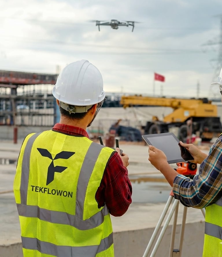
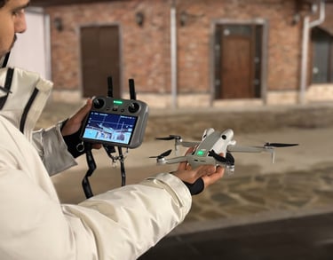
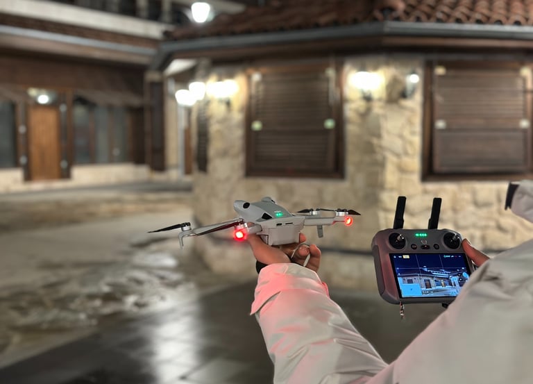
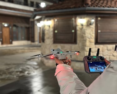
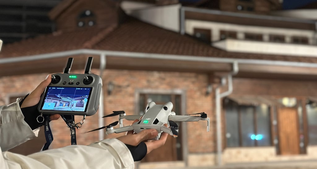
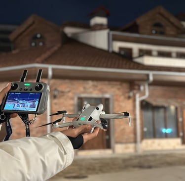
Robotic & drone inspections for safer assets and faster decisions.
About Us
At TekFlowOn, we merge precision engineering, robotics and smart data to help enterprises drive performance, safety and digital transformation.
From unmanned inspection to 3D mapping, we build tailored solutions for the most demanding industrial environments.


Our Sectors
Energy Infrastructure
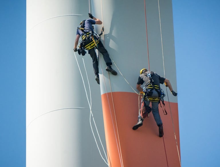
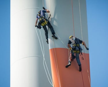
• Wind turbines & solar arrays
• Thermal plants & refineries
• Network lines & substations
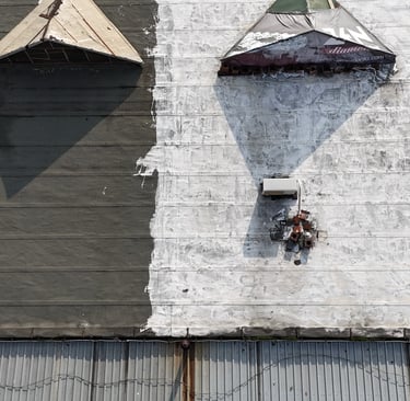
Industrial Inspection & Internal Access
• Tank interiors & pipelines
• Chemical plants & refineries
• Tunnel, bridge and structural inspection
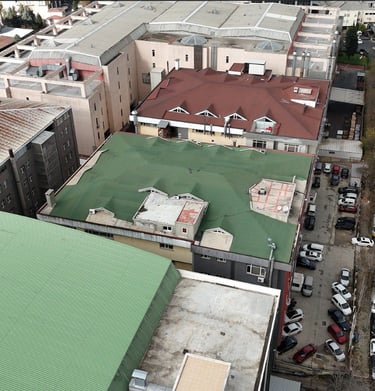
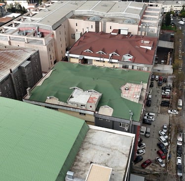
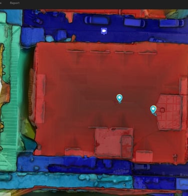
• UAV photogrammetry & LiDAR surveys
• 3D digital twin creation
• Land & asset cadastre services
Property Inspection & Management
Our Services
Robotic systems and AI solutions tailored for industrial needs.
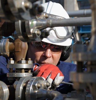
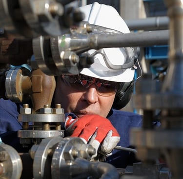
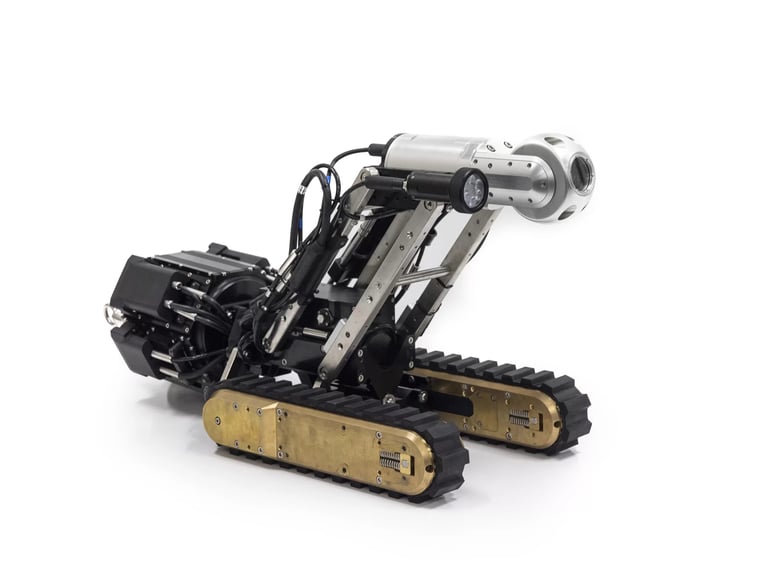
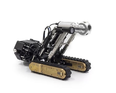
RI (Robotic Inspection)
Autonomous and semi-autonomous crawlers designed for confined or complex environments, equipped with cameras, sensors, and NDT modules for precise internal assessment.
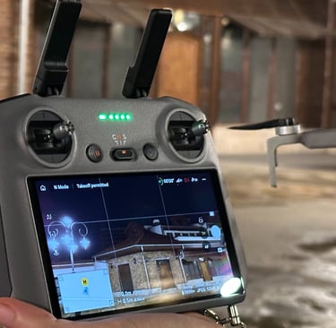
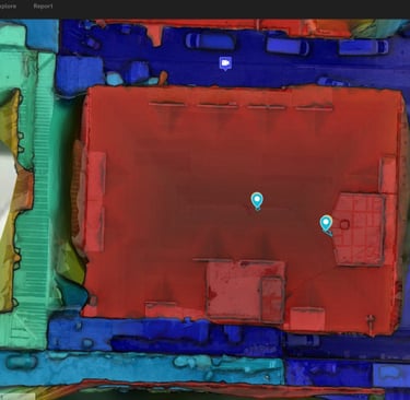
3D Mapping
High-accuracy aerial and ground mapping using UAV LiDAR and photogrammetry to create digital twins for infrastructure, land, and asset visualization.
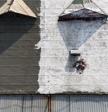
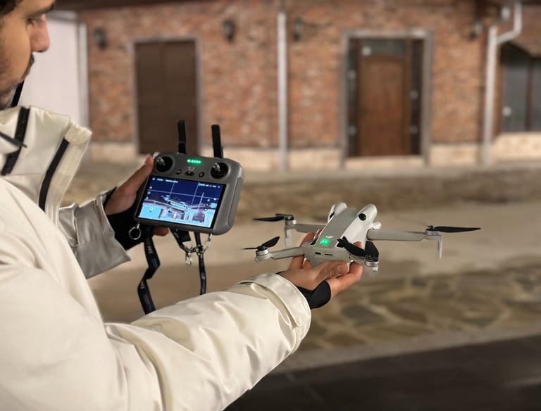
VI (Visual Inspection)
High-resolution robotic and drone-based visual inspections for industrial assets, delivering detailed imagery and real-time data without human entry into hazardous zones.
Flow
Robotic systems enhancing safety and precision in industry.