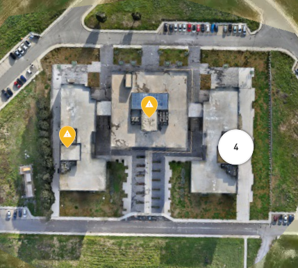
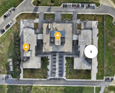
3D Mapping
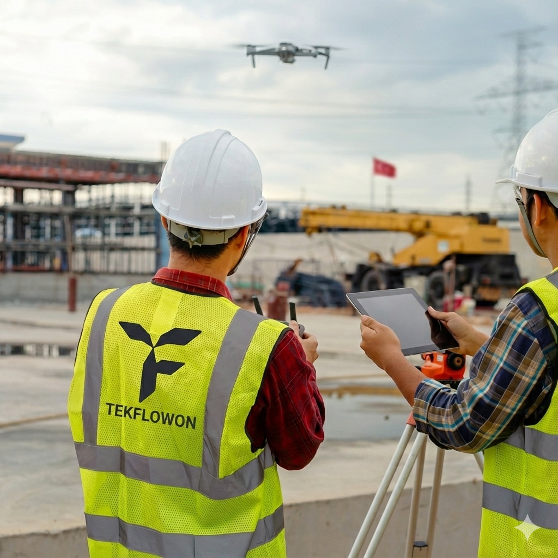
🏗️ Construction Progress Monitoring:
Our drones capture regular aerial images and videos, turning them into progress reports that make it easy to track work, identify delays, and share updates with stakeholders.
🗺️Aerial Surveying & 3D Mapping :
•Tekflow produces high-accuracy maps and 3D terrain models using drones and photogrammetry.